
FAA Part 107 Study Guide
Airport Automated Weather Information
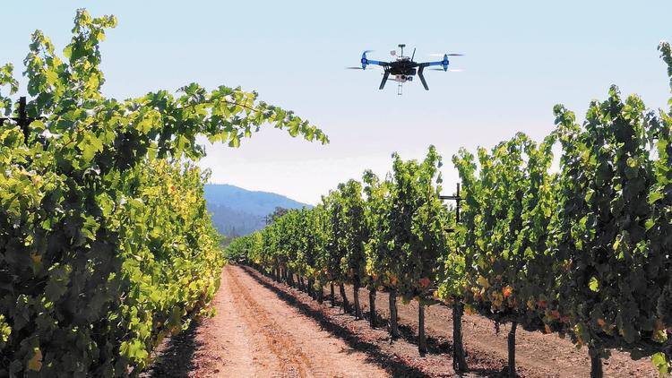
Before mapping a vineyard in the Napa Valley, you would like a quick update on current weather conditions.
Your preflight preparation showed that the nearest airport is “Napa County”.
Go to your CHART SUPPLEMENT, locate “Napa County” airport (If in the printed version, look by State, then by city alphabetically):
Under Weather Data Sources, a phone number is listed for the ASOS (Airport Surface Observation System), below it is the ATIS (Airport Terminal Information System) frequency and phone number.
- ASOS and AWOS (Automated Weather Observation System) are automated weather recordings found at uncontrolled airport. This applies to airports with a closed Tower.
- ATIS is similar but found at controlled airports and is usually recorded by the air traffic controllers.
Listen to the recordings below or feel free to call the ASOS or ATIS of an airport near you.
Interested in working with us?
We are always looking to partner with like-minded organizations and to hire talented people. Send us a message to start the conversation.